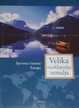
Velika enciklopedija zemalja - Sjeverna i istočna Europa
Two copies are available

Two copies are available
Are you interested in another book? You can search the offer using our search engine or browse books by category.
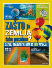
Warum entstehen Regenbögen? Warum sind Blätter grün? Warum dreht sich die Erde am Äquator am schnellsten? Warum kann man keinen Weg zur anderen Seite der Erde graben? Warum ist das Meer salzig? Warum fragen wir nach dem Warum? Weil wir immer etwas Neues l
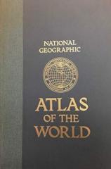
The fifth edition of the National Geographic Atlas of the World from 1981 is a monumental cartographic work. It contains detailed maps, satellite imagery, and geographic data from the height of the Cold War.
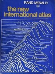
Das monumentale kartographische Werk „The New International Atlas“ von Rand McNally aus dem Jahr 1980 bietet äußerst präzise mehrsprachige Karten und einen detaillierten Überblick über die geopolitische Landschaft der Welt während des Kalten Krieges.
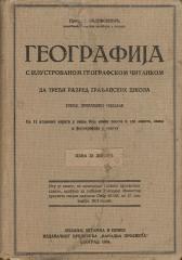
A rare interwar edition of a geography textbook (Belgrade, 1934) with 11 color atlas maps and 150 illustrations. Valuable as an antiquarian and cultural-historical document of education and cartography in the Kingdom of Yugoslavia.
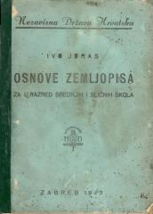
Ein allgemeines Geographie-Lehrbuch für die erste Klasse der Sekundarstufe im Unabhängigen Staat Kroatien. Es behandelt die Grundlagen der physischen und allgemeinen Geographie und enthält Karten und Illustrationen. Das Werk stammt von dem bedeutenden kro