Moj prvi atlas svijeta 1: Geografski atlas Europe i Azije

Moj prvi atlas svijeta 1: Geografski atlas Europe i Azije

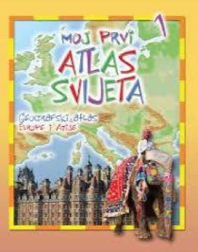
Educational children's atlas from 2013. Through colorful thematic maps, vivid illustrations and accessible facts, it adapts the geography of Europe and Asia to the youngest explorers of the planet.

"My First World Atlas: Geographic Atlas of Europe and Asia" (2013 edition) is an attractive and educational cartographic and pictorial edition intended for preschool and early elementary school children. It was designed to introduce the youngest readers to basic geographical concepts and the richness of the European and Asian continents in a fun, simple and visually accessible way. The book includes clear, adapted maps enriched with numerous illustrations and symbols. Each region or country is shown through recognizable features: from geographical reliefs (mountains, rivers, seas), characteristic animal and plant species, to famous buildings, cultural heritage and the specifics of people's lives. Through play and observation, children learn about the diversity between European countries and the vastness and natural wonders of Asia - from the northern polar regions to the tropics. Written in clear and concise text with an emphasis on visual learning, this edition stimulates children's curiosity, develops the first map reading skills and serves as an excellent foundation for understanding the world around us.

Urednik
Gordan Zečić
Dimenzije
29,5 x 22 cm
Broj strana
31
Nakladnik
EPH media d. o. o., Zagreb, 2013.
 
Latinica. Broširano.
Jezik: Hrvatski.

Jedan primjerak je u ponudi

Stanje:Korišteno, u odličnom stanju
Dodano u košaricu!
 

Zanima Vas i neka druga knjiga? Možete pretražiti našu ponudu pomoću tražilice ili prelistati knjige po kategorijama.

Možda će Vas zanimati i ovi naslovi

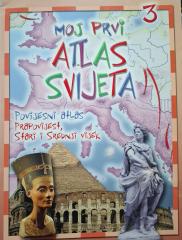
Moj prvi atlas svijeta 3: Povijesni atlas - prapovijest, stari i srednji vijek

Moj prvi atlas svijeta 3: Povijesni atlas - prapovijest, stari i srednji vijek

Pädagogischer Kinderatlas aus dem Jahr 2013. Anhand farbenfroher Karten und Illustrationen nimmt er die Jüngsten mit auf eine Reise durch die Vorgeschichte, die Antike und das Mittelalter und enthüllt wichtige Ereignisse und antike Zivilisationen.

EPH media d. o. o., 2013.
Hrvatski. Latinica. Broširano.
2,50 €
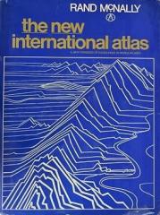
The New International Atlas

The New International Atlas

Das monumentale kartographische Werk „The New International Atlas“ von Rand McNally aus dem Jahr 1980 bietet äußerst präzise mehrsprachige Karten und einen detaillierten Überblick über die geopolitische Landschaft der Welt während des Kalten Krieges.

Rand McNally, 1980.
Engleski. Latinica. Tvrde korice s ovitkom.
28,46 €
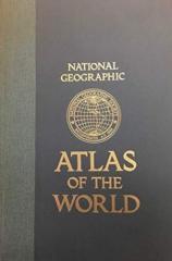
National Geographic Atlas of the World

National Geographic Atlas of the World

Die fünfte Ausgabe des National Geographic Atlas der Welt von 1981 ist ein monumentales kartografisches Werk. Es enthält detaillierte Karten, Satellitenbilder und geografische Daten aus der Hochphase des Kalten Krieges.

National Geographic Society, 1981.
Engleski. Latinica. Tvrde korice.
43,46 €
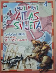
Moj prvi atlas svijeta 4: Povijesni atlas - XX. i XXI. stoljeće

Moj prvi atlas svijeta 4: Povijesni atlas - XX. i XXI. stoljeće

Edukativni povijesni atlas donosi pregled ključnih svjetskih događaja 20. i 21. stoljeća. Uz jasne karte i ilustracije, priručnik olakšava razumijevanje suvremene povijesti i geografije.

EPH media d. o. o., 2013.
Hrvatski. Latinica. Broširano.
2,50 €
Geografski atlas svijeta - za škole i dom

Geografski atlas svijeta - za škole i dom

Denis Šehić, Demir Šehić
Europapress holding, 2005.
Hrvatski. Latinica. Tvrde korice.
3,24 €