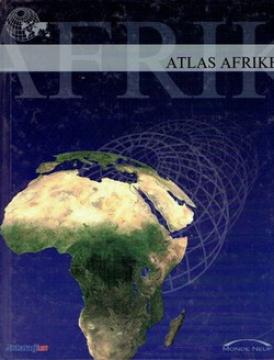
Atlas Afrike
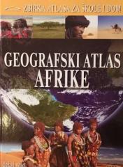
The atlas contains thematic maps of the whole of Africa, physical maps of regions and Africa as a whole, and physical maps and basic data for each of the fifty-four states. There is an index of geographical names.
Editor
Denis Šehić, Demir Šehić
Graphics design
Demir Šehić
Dimensions
28 x 23 cm
Pages
119
Publisher
Monde neuf, Zagreb, 2005.
Latin alphabet. Hardcover.
Language: Croatian.
ISBN
9-53-674803-7
Multiple copies are available